
Transportation
There are two types of measures to reduce emissions from transportation – those reducing the number of vehicle miles travelled (VMT) and those that shift us to more efficient and less polluting vehicles like electric vehicles (EVs).
For a short video presentation on the Transportation section, please click on the video below.
Vehicle Miles Traveled (VMT)
VMT for the community are calculated using the Ventura County Traffic Model as follows: 100 percent of internal trips within the City, 50 percent from trips that originate or terminate within the City, and zero from “pass-through” trips. This equates to about 3.5 million miles per day or 28 miles per day per resident.
Some of the ways of reducing vehicle miles driven include providing opportunities for more people to telecommute, to carpool, and to both live and work in the City. Other ways include encouraging and supporting alternative means of transportation such as use of public transit, bicycles and e-bikes, scooters and walking.
Map showing Average Daily Vehicle Counts on Thousand Oaks Streets.
Active Transportation
The City adopted an Active Transportation Plan in 2019 that provides planning guidance for infrastructure improvements to make non-motorized transportation safer and more enjoyable. The Plan is due to be updated in 2024.
The plan looked at destinations such as shopping centers, parks, schools and bus stops, and starting points such as where families and seniors live. It also included data on household income, vehicle ownership, and barriers for cyclists and pedestrians such as high speeds on roads, collisions, street slope, missing sidewalks and ramps, major crossings, etc. Based on this analysis, maps were created indicating where people would have a greater propensity for biking and walking.


This map shows the most attractive areas for walking and biking.
You can see by the darker red color that biking and walking are more common in the downtown core and on Hillcrest Drive. From these maps, a list of potential projects has been drawn up for increasing the safety and usability of the City’s streets.
Transit & Bikeways Map
The City operates buses 6 days a week on 5 different routes that intersect at the Oaks Mall, and are scheduled to allow transfers between routes. Unfortunately, buses are infrequent, circulating once an hour, and buses are underutilized. The service is funded through federal programs. Commuter buses provide service in and out of Los Angeles, and connections to other cities in the County are available through VCTC.
(Click on map below to view Bikeways and Transit routes)
New Mobility
Active Transportation is more than just building bike lanes and sidewalks. It includes embracing new mobility options like scooters and e-bikes, working with private partners to bring options to the City, and providing bike fix-it stations and bike, skateboard and scooter parking and charging stations.


Bike repair station (left), City bus with bike rack (middle), and e-bike charging stations (right).
Certain land use conditions promote a mode shift to non-motorized transport. These include increasing density in key locations, creating a diversity of uses, and designing with walkability in mind. These concepts have been integrated into the City’s General Plan 2045 Update.
GOALS AND MEASURES

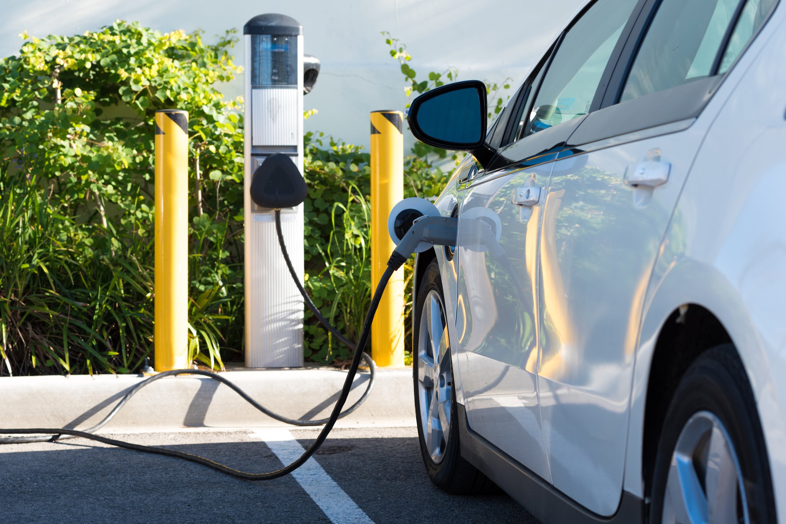
Clean/Electric Vehicles
At the same time as taking measures to encourage alternative transportation, the City can help reduce transportation emissions by assisting a transition to cleaner electric vehicles. Currently, 25% of all new vehicles sold in California are electric. By 2035 all new light duty vehicle sales in the State will be zero-emission/electric.
To support this transition, hundreds of electric vehicle chargers will be needed in the City. These will be particularly important to support those residents living in existing multi-family developments without access to personal charging.

